Conquer the Heat
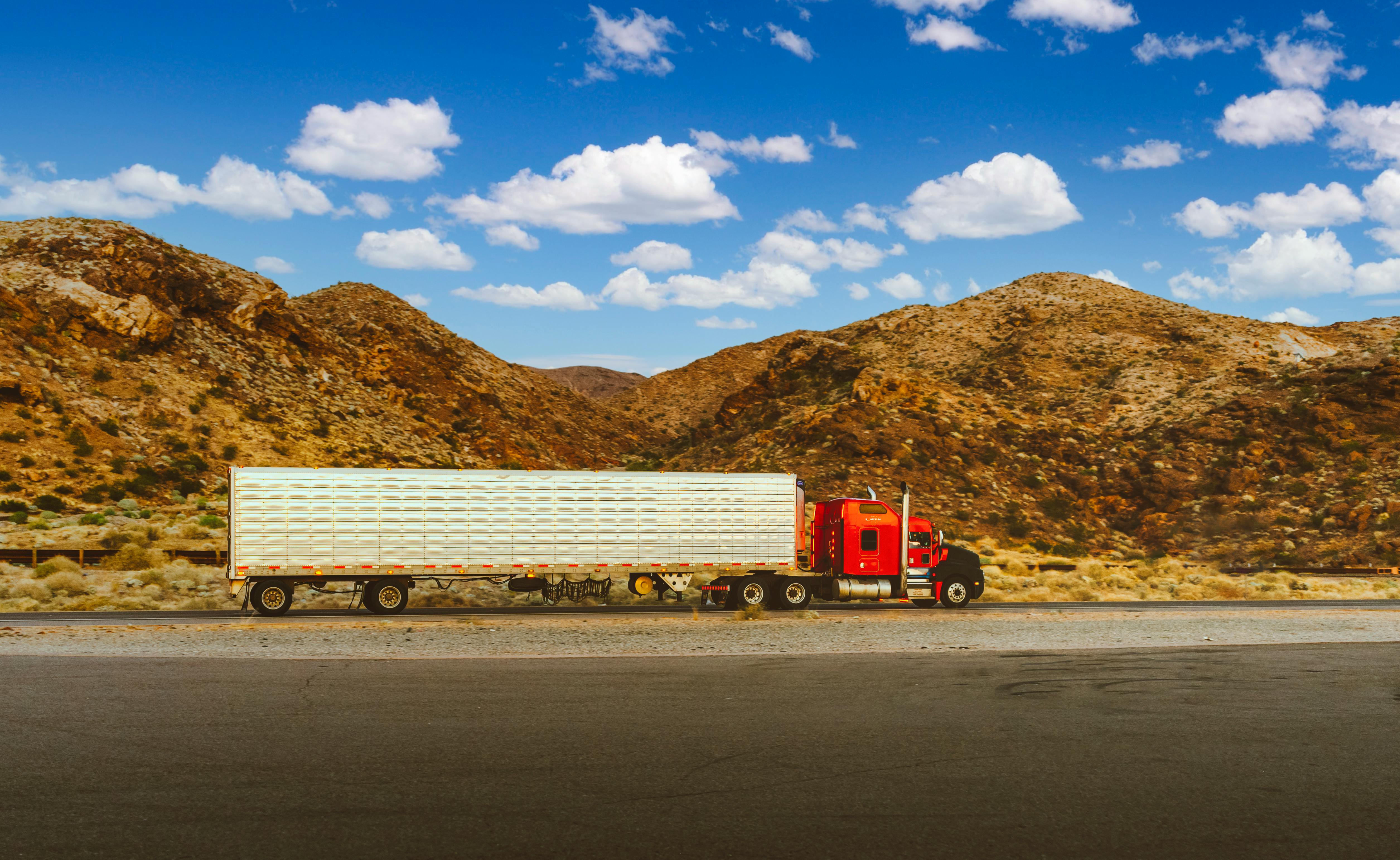
Desert highways like I-10 through Arizona and California present unique challenges—extreme heat, limited services, and equipment failure risks. RouteAware's desert monitoring system tracks temperatures, identifies breakdown hotspots, and alerts you to dangerous conditions before they impact your operations.
Extreme Heat Monitoring
Track temperatures exceeding 100°F, 110°F, and dangerous 115°F+ conditions along desert corridors
- Real-time temperature tracking
- Heat wave warnings
- Hourly forecasts
Breakdown Prevention
Identify high-risk segments where extreme heat causes tire blowouts and mechanical failures
- Tire failure risk zones
- Engine overheat alerts
- Service location mapping
Driver Safety
Protect drivers from heat exhaustion with rest stop recommendations and hydration reminders
- Rest area locations
- Heat advisory warnings
- Emergency service contacts
High-Risk Desert Corridors
I-10: Phoenix to Palm Springs
The most dangerous desert stretch in the US. Summer temperatures routinely exceed 120°F with limited services for 100+ miles.
Peak Risk:
June-August, 12pm-6pm daily
I-15: Las Vegas to Barstow
Mojave Desert crossing with steep grades causing engine strain. Tire blowouts are common in 110°F+ heat.
Peak Risk:
May-September, afternoon hours
Desert Freight Best Practices
Schedule Around Peak Heat
Plan deliveries for early morning or evening hours when temperatures are 20-30°F cooler
Pre-Trip Equipment Checks
Verify tire pressure, coolant levels, and AC function before entering desert routes
Mandatory Rest Stops
Require drivers to stop every 2 hours in 110°F+ conditions for hydration and vehicle checks
Emergency Supplies
Ensure trucks carry extra water, coolant, and emergency contact information
Protect Your Fleet in Desert Heat
Don't let extreme temperatures catch you off guard. Get real-time desert route monitoring.